
Mapa topográfico Mount Galunggung
Mapa interactivo
Haga clic en el mapa para ver la altitud.
Acerca de este mapa
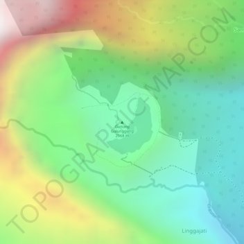
Nombre: Mapa topográfico Mount Galunggung, altitud, relieve.
Altitud media: 1.286 m
Altitud mínima: 780 m
Altitud máxima: 2.076 m
One plane, a British Airways aircraft carrying 240 passengers and traveling from Kuala Lumpur, Malaysia, to Perth, Australia, on 24 June 1982, accidentally entered the ash cloud at night, about 150 km (93 mi; 81 nmi) downwind of the volcano. All four engines failed due to the buildup of volcanic ash, and the aircraft descended for 16 minutes, losing 7,500 m (24,606 ft) of its 11,500 m (37,730 ft) altitude, until the crew managed to restart the engines and land in Jakarta.