
Gracias por apoyar a este sitio ❤️
Haz una donación
Haz una donación
Mapa topográfico Palm Springs
Haga clic en el mapa para ver la altitud.
Gracias por apoyar a este sitio ❤️
Haz una donación
Haz una donación
Palm Springs
The original village townsite includes a chain of artificial north-to-south oriented lakes linked to canals, engineered in 1957 as a mechanism to promote drainage. Geologically, Palm Springs is located within the Anastasia Formation region, which dominates far eastern Palm Beach County. This type of geological formation is composed primarily of coquina, sand, and sandy limestone. The average elevation of Palm Springs is 10 ft (3.0 m).
Gracias por apoyar a este sitio ❤️
Haz una donación
Haz una donación
Acerca de este mapa
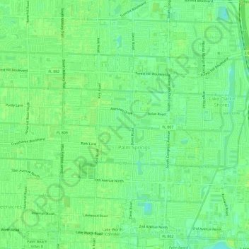
Nombre: Mapa topográfico Palm Springs, altitud, relieve.
Lugar: Palm Springs, Palm Beach County, Florida, United States (26.61482 -80.11249 26.66627 -80.08007)
Altitud media: 9 m
Altitud mínima: 1 m
Altitud máxima: 11 m
Gracias por apoyar a este sitio ❤️
Haz una donación
Haz una donación