
Mapa topográfico Crisfield
Mapa interactivo
Haga clic en el mapa para ver la altitud.
Acerca de este mapa
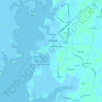
Nombre: Mapa topográfico Crisfield, altitud, relieve.
Lugar: Crisfield, Somerset County, Maryland, 21817, United States (37.95890 -75.87424 38.00094 -75.82563)
Altitud media: 1 m
Altitud mínima: -4 m
Altitud máxima: 7 m
Crisfield is a very compact city, with little vacant land. According to the United States Census Bureau, the city has a total area of 3.06 square miles (7.93 km2), of which 1.62 square miles (4.20 km2) (53.0%) is land and 1.44 square miles (3.73 km2) (47.0%) is water. As one of the southern points on the Delmarva Peninsula and one very close to the Chesapeake Bay, the city is extremely flat, with the elevation never rising above 3 feet (0.91 m).
Otros mapas topográficos
Haga clic en un mapa para ver su topografía, su altitud y su relieve.
Princess Anne
United States > Maryland > Somerset County
Princess Anne, Somerset County, Maryland, 21853, United States
Altitud media: 5 m
Smith Island
United States > Maryland > Somerset County > Tylerton
Smith Island, Tylerton, Somerset County, Maryland, United States
Altitud media: 0 m
Eden
United States > Maryland > Somerset County
Eden, Somerset County, Maryland, 21822, United States
Altitud media: 8 m
Marion
United States > Maryland > Somerset County
Marion, Somerset County, Maryland, 21838, United States
Altitud media: 2 m
Westover
United States > Maryland > Somerset County
Westover, Somerset County, Maryland, 21890, United States
Altitud media: 4 m