
Gracias por apoyar a este sitio ❤️
Haz una donación
Haz una donación
Mapa topográfico Le Petit Clamart
Haga clic en el mapa para ver la altitud.
Gracias por apoyar a este sitio ❤️
Haz una donación
Haz una donación
Acerca de este mapa
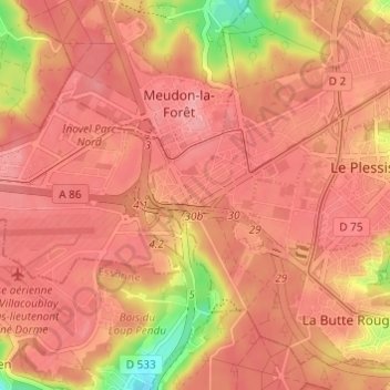
Nombre: Mapa topográfico Le Petit Clamart, altitud, relieve.
Altitud media: 163 m
Altitud mínima: 91 m
Altitud máxima: 187 m
Gracias por apoyar a este sitio ❤️
Haz una donación
Haz una donación