
Gracias por apoyar a este sitio ❤️
Haz una donación
Haz una donación
Mapa topográfico Landsmeer
Haga clic en el mapa para ver la altitud.
Gracias por apoyar a este sitio ❤️
Haz una donación
Haz una donación
Landsmeer
Dutch topographic map of the municipality of Landsmeer, June 2015
Gracias por apoyar a este sitio ❤️
Haz una donación
Haz una donación
Acerca de este mapa
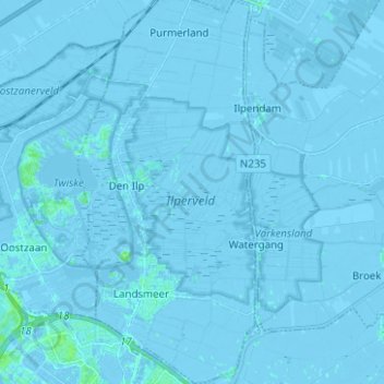
Nombre: Mapa topográfico Landsmeer, altitud, relieve.
Lugar: Landsmeer, North Holland, Netherlands (52.41161 4.89445 52.48773 4.95088)
Altitud media: -1 m
Altitud mínima: -7 m
Altitud máxima: 7 m
Gracias por apoyar a este sitio ❤️
Haz una donación
Haz una donación