
Gracias por apoyar a este sitio ❤️
Haz una donación
Haz una donación
Mapa topográfico Roden
Haga clic en el mapa para ver la altitud.
Gracias por apoyar a este sitio ❤️
Haz una donación
Haz una donación
Acerca de este mapa
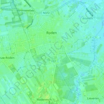
Nombre: Mapa topográfico Roden, altitud, relieve.
Lugar: Roden, Noordenveld, Drenthe, Netherlands (53.11346 6.39370 53.15273 6.46012)
Altitud media: 5 m
Altitud mínima: 0 m
Altitud máxima: 11 m
Gracias por apoyar a este sitio ❤️
Haz una donación
Haz una donación
Otros mapas topográficos
Haga clic en un mapa para ver su topografía, su altitud y su relieve.