
Mapa topográfico Whitstable and Seasalter Golf Club
Mapa interactivo
Haga clic en el mapa para ver la altitud.
Acerca de este mapa
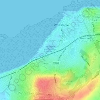
Nombre: Mapa topográfico Whitstable and Seasalter Golf Club, altitud, relieve.
Altitud media: 14 m
Altitud mínima: -1 m
Altitud máxima: 59 m